Featured · Healthcare · Dickson City, PA
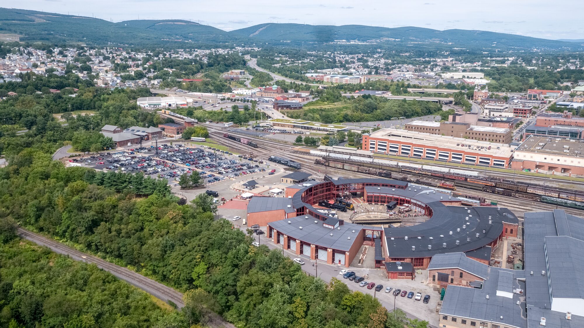
Geisinger Cancer Center
The full package on one site: live stream, timelapse, drone progress flights and mapping.
View projectCommercial drone services · Northeastern Pennsylvania
Construction progress flights, mapping, inspection and aerial video from one local, FAA Part 107 certified team. Flying Scranton, Wilkes-Barre and Northeastern Pennsylvania since 2014.
Project work for
Drone services
Project work
Featured · Healthcare · Dickson City, PA
The full package on one site: live stream, timelapse, drone progress flights and mapping.
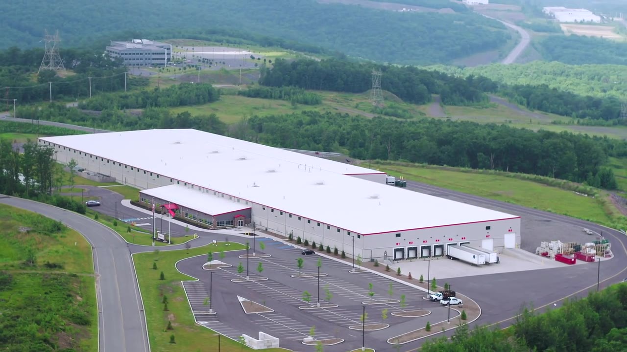
View projectBi-weekly aerial tracking feeding the contractor's progress reports on the new plant.
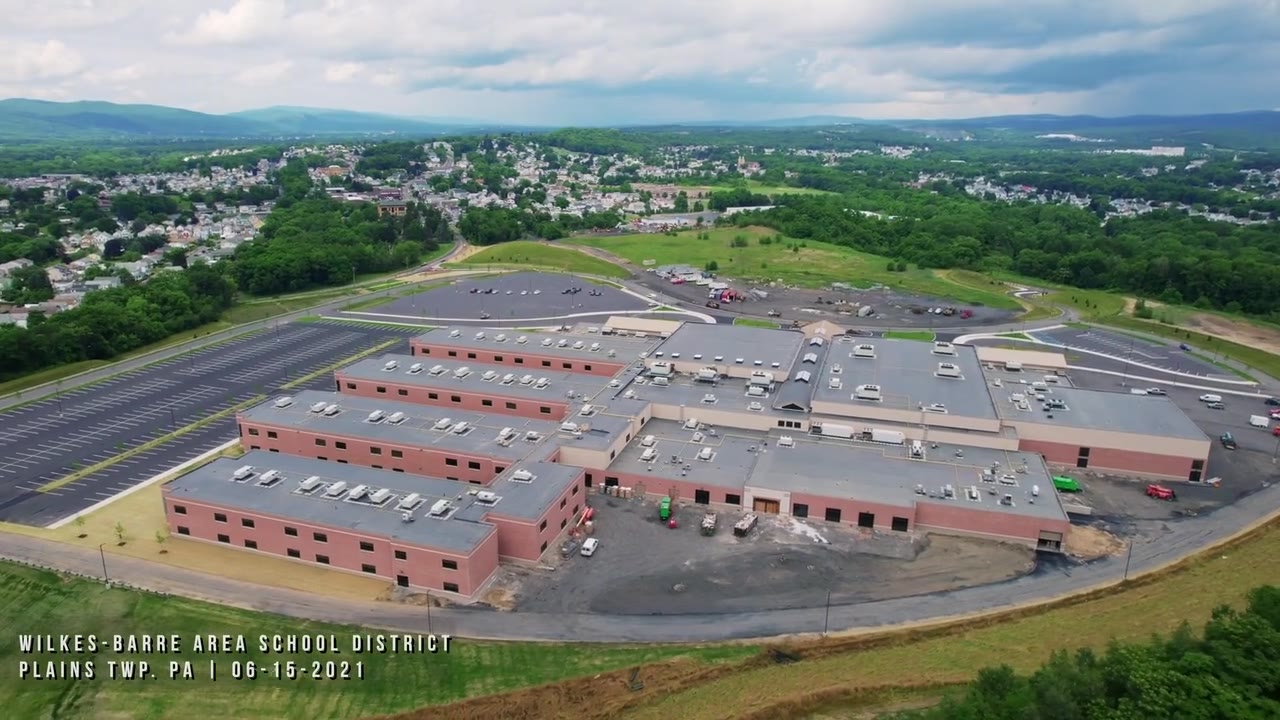
Aerial progress video of the school district construction project.
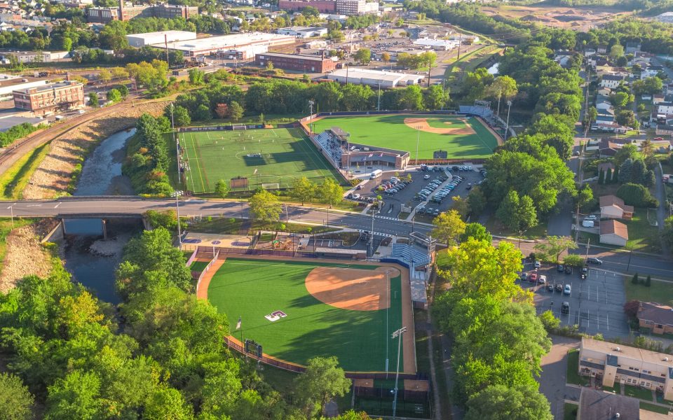
Progress tracking across a multi-million dollar athletics campus build.
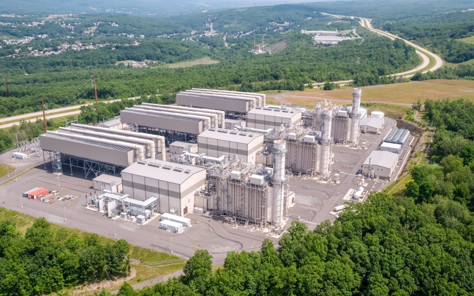
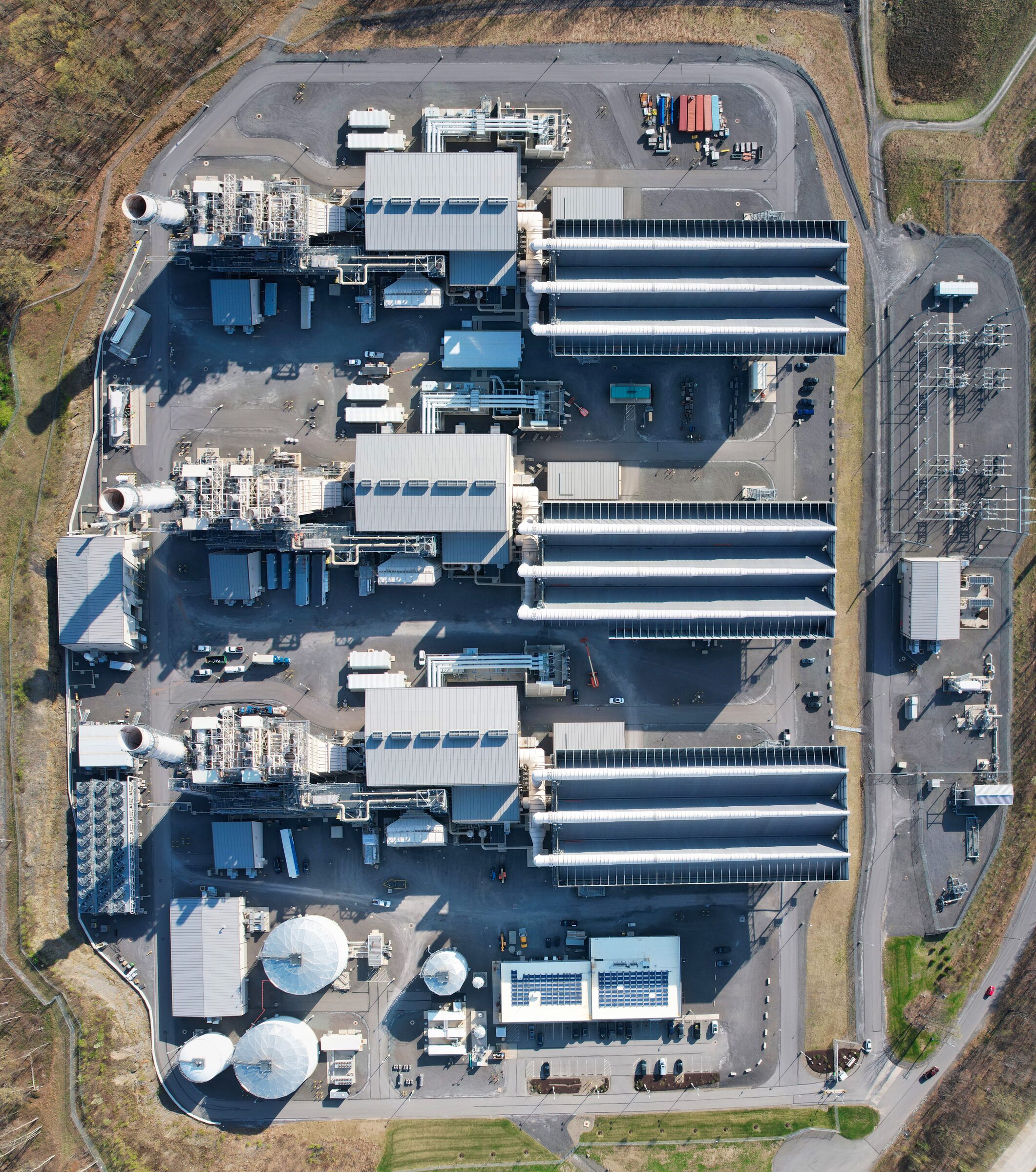
Construction phases of a large natural gas power plant, documented from the air.
See the output
Add-on for construction projects
Keep eyes on the site between flights. We supply, install and run fixed cameras for the length of the build: a live view for your team while the job runs and a ground-level timelapse at the end. Pair them with scheduled drone mapping flights for an aerial timelapse of the whole site from above.
How timelapse and live cameras workAerial photography
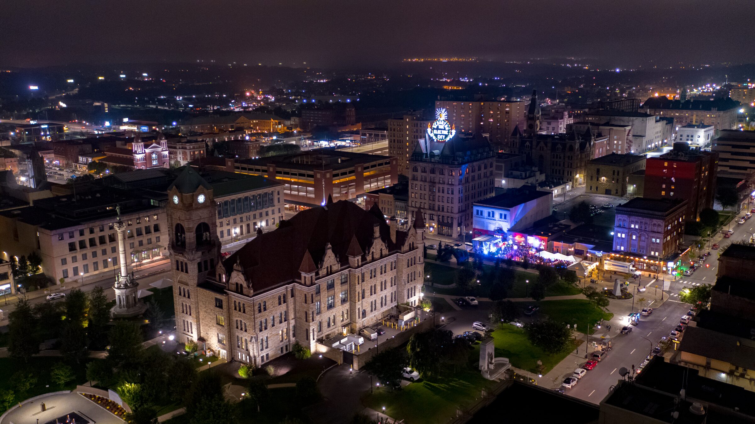
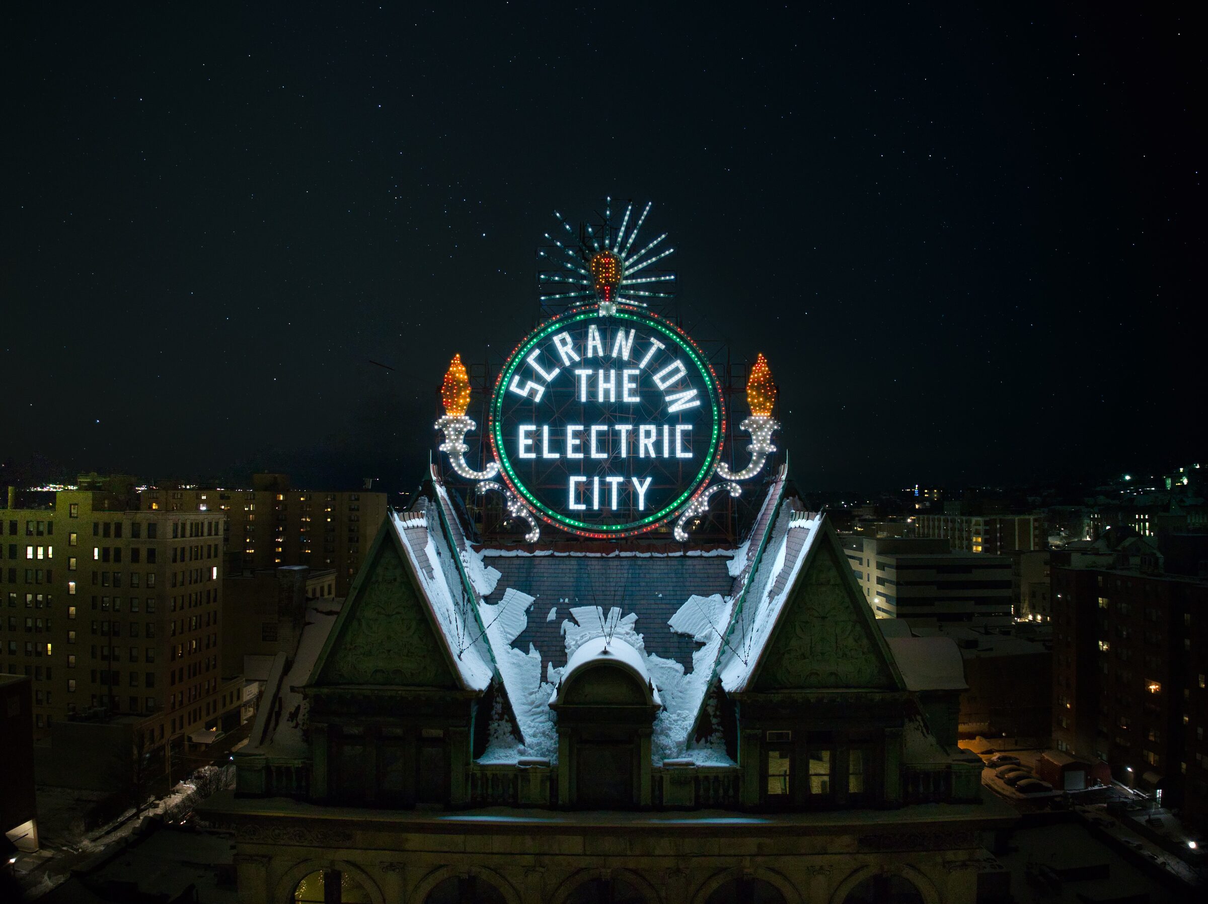
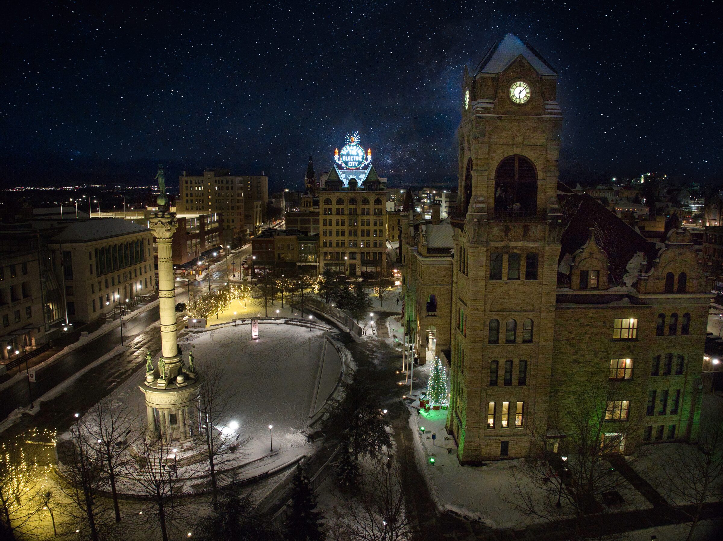
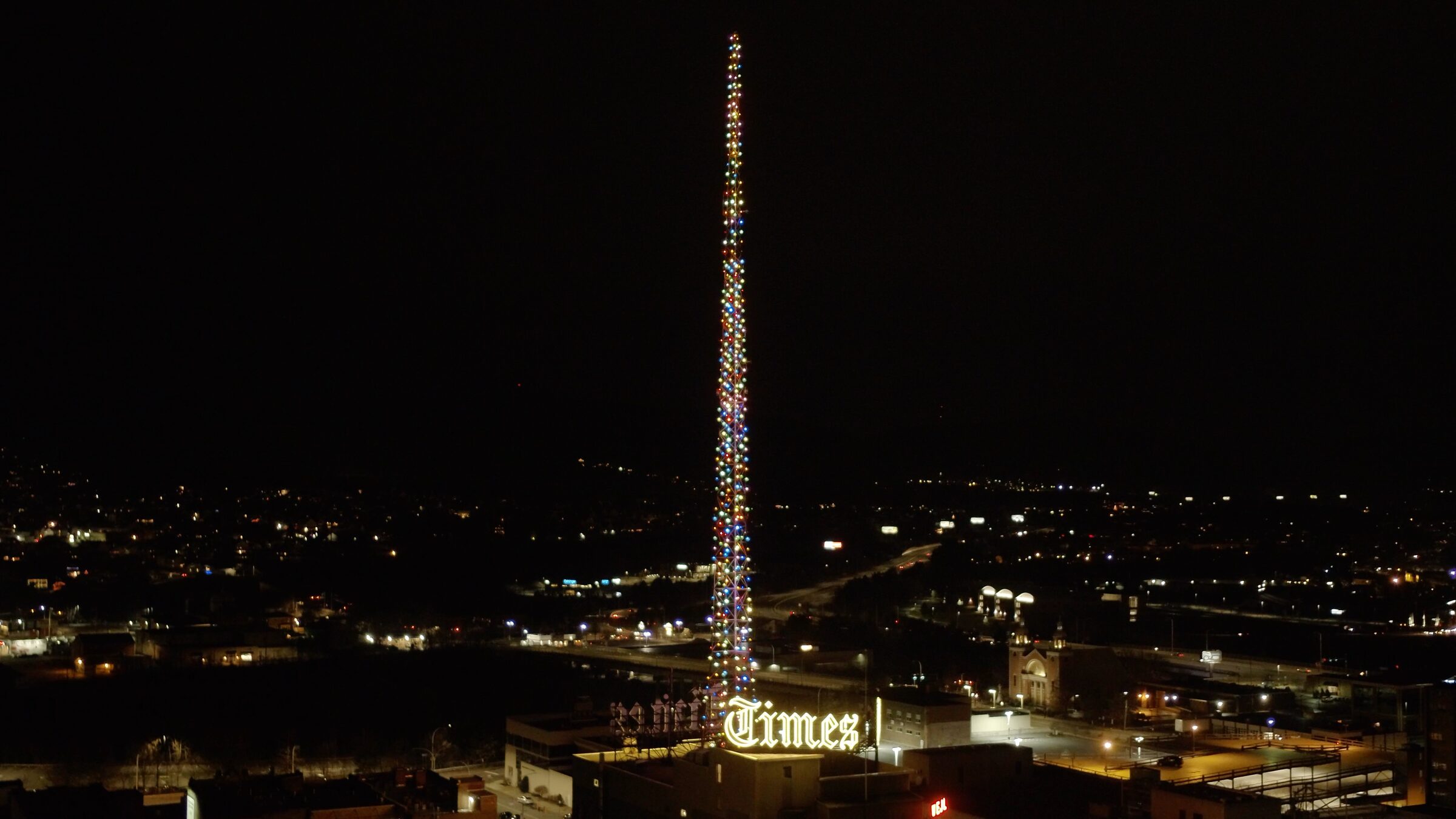
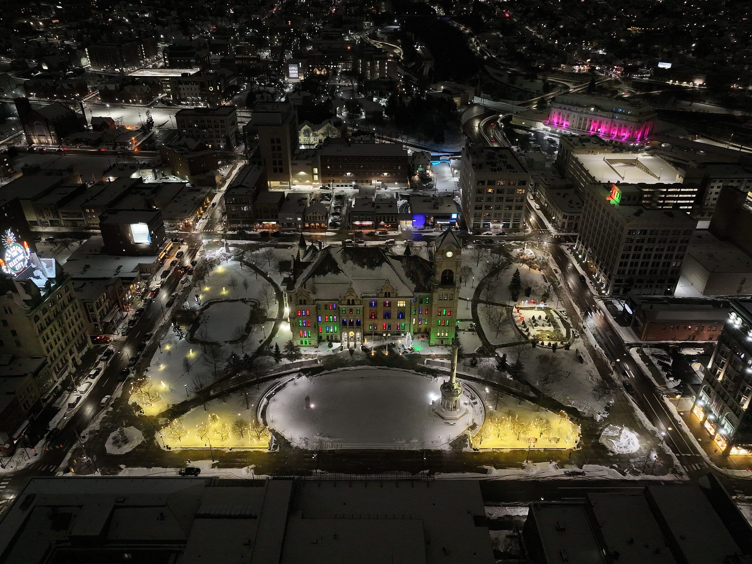
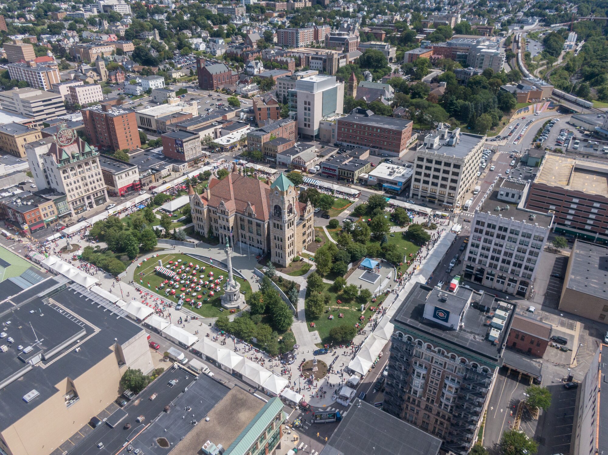
The Electric City from above at night: Courthouse Square, the Electric City sign, the Times Tower and downtown under the stars.
Marketing & real estate
Marketing films for companies, tourism and events, event and venue photography, and hundreds of real estate shoots for agents, builders and developers.
Access Aerial is a commercial drone service provider based in Northeastern Pennsylvania. Since 2014 we have flown construction sites, campuses, energy projects, bridges and landmarks across the region, for general contractors, developers, universities, municipalities and media.
Most of our work is construction progress documentation: scheduled flights from the same positions on every visit, delivered as dated photo sets, progression video, orthomosaic maps and 3D models. We also fly inspections, aerial photo and video and real estate, and we install timelapse and live jobsite cameras for projects that need eyes on the site between flights.
Every flight is flown by FAA Part 107 certified pilots, fully insured, with FAA airspace authorization where the site requires it.
Start a project
Send the basics and we will come back with a flight plan and a quote.
Serving Scranton, Wilkes-Barre and Northeastern Pennsylvania.