Energy · Jessup, PA
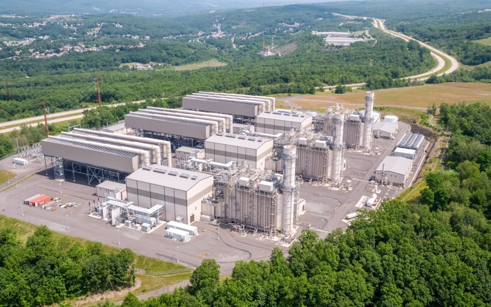
Lackawanna Energy Center
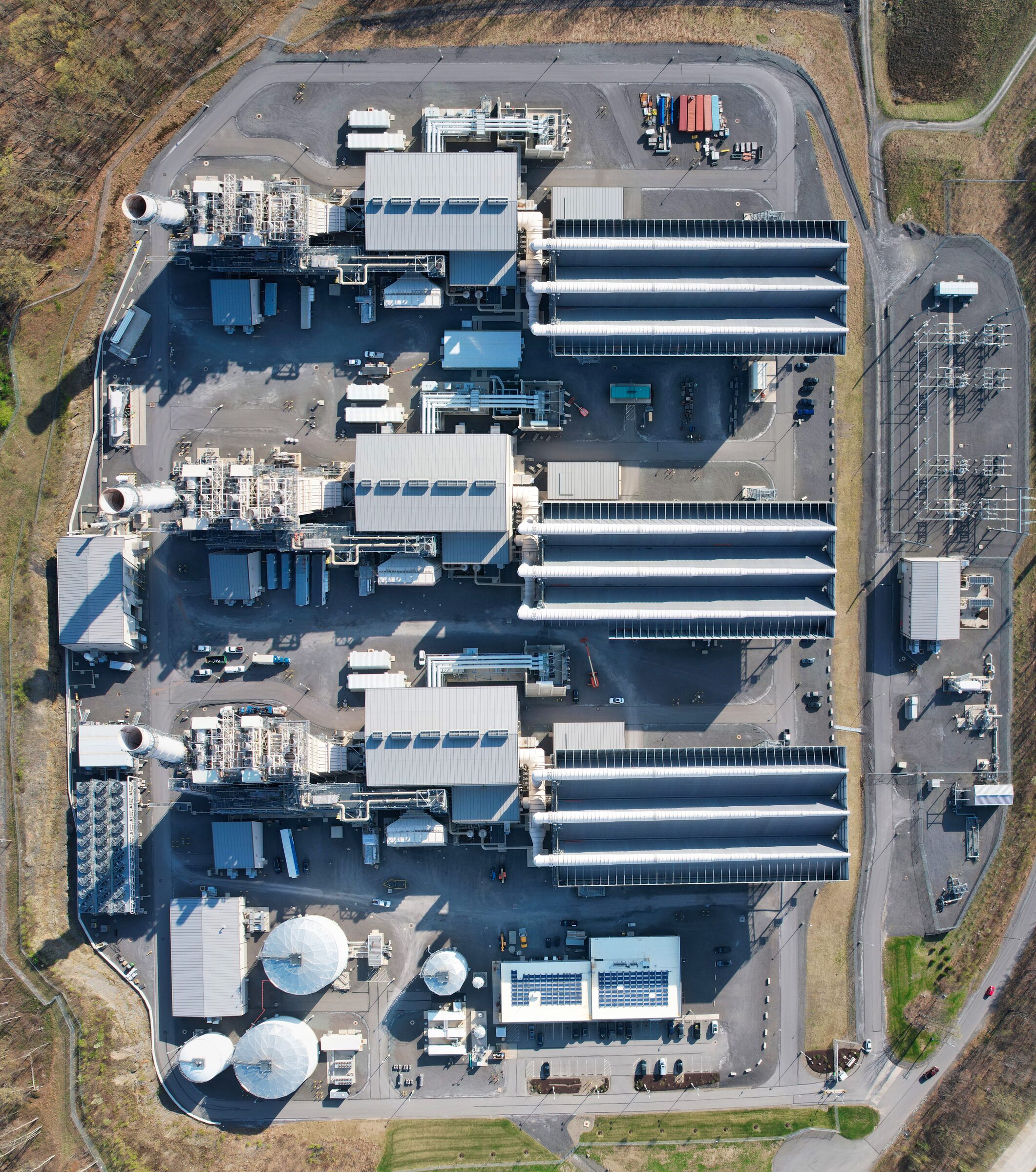
Construction phases of a large natural gas power plant, documented from the air.
Drone services · Mapping
Stitched orthomosaic maps and 3D models of your site, captured by drone, giving your team a current top-down view of the whole property.
Featured work
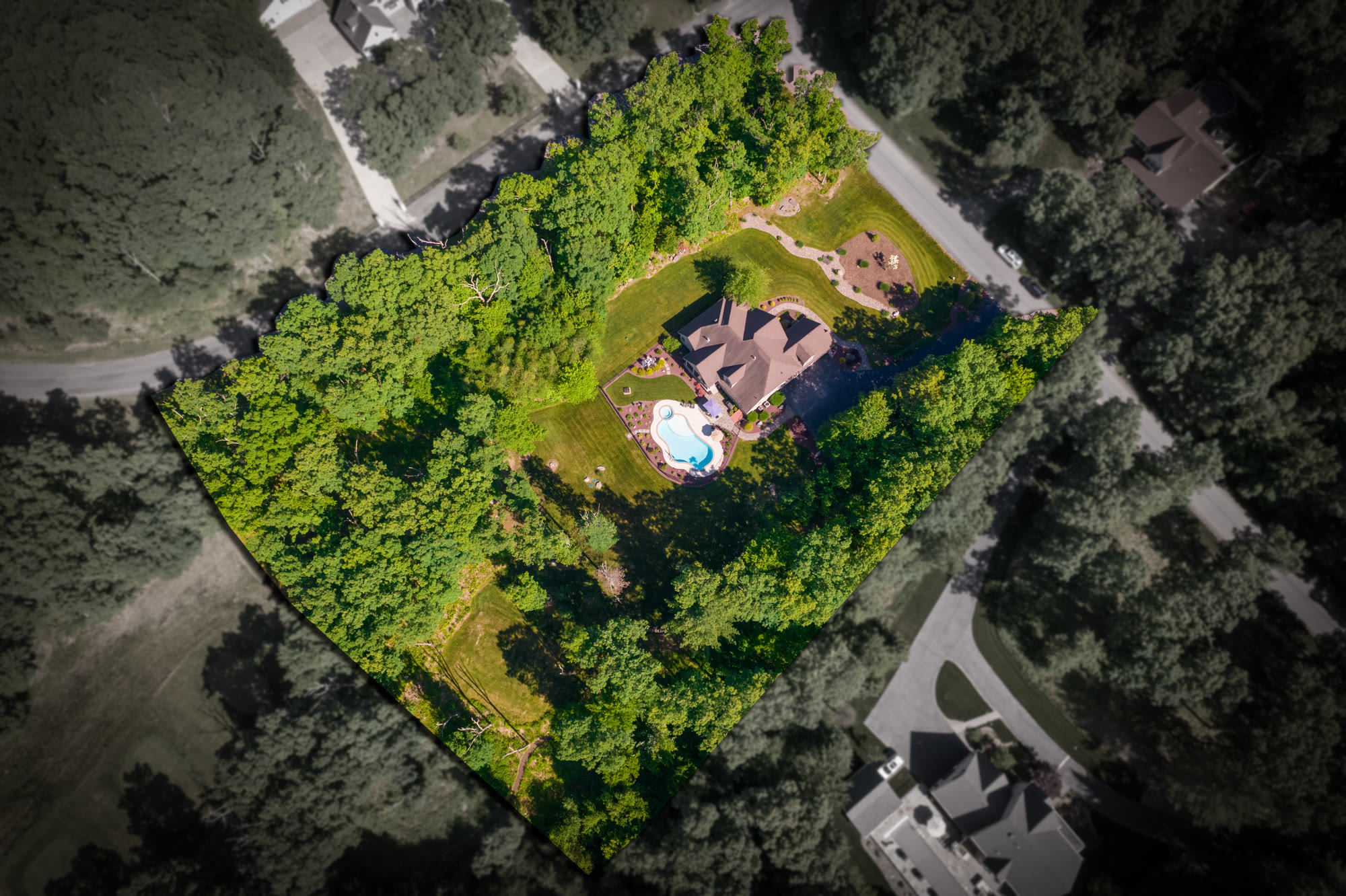
Whole sites stitched into one top-down image, overhead progressions flown from the same point every visit, and parcels outlined from above. Select a map to see it full size.
A drone flies a set grid over the property and hundreds of overlapping photos are stitched into a single, detailed top-down map, called an orthomosaic. The same flight can produce a 3D model of the site and its structures.
No. Drone maps and models are a visual record and planning tool. Where a project needs survey-grade data, they complement the work of a licensed surveyor.
From a single building lot to large industrial and campus sites. Tell us the site and what you need from the map, and we will plan the flight around it.
Project work
Construction phases of a large natural gas power plant, documented from the air.
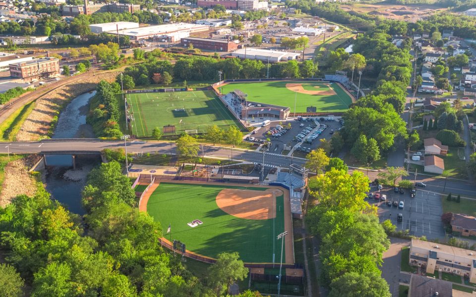
Progress tracking across a multi-million dollar athletics campus build.
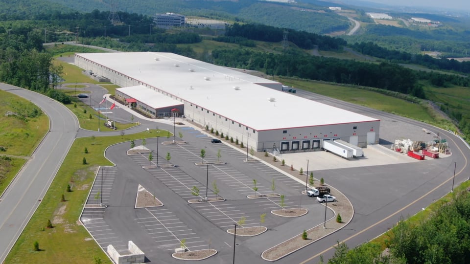
Bi-weekly aerial tracking feeding the contractor's progress reports on the new plant.
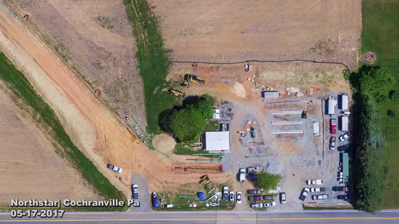
Dated overhead flights over a new natural gas facility, from farmland to an active build in spring 2017.
Send the basics and we will come back with a plan and a quote.